
What’s in a name?
Farm, holding and individual field names
Somebody told me that there had been a television programme earlier in 2015, on S4C, called ‘Caeau Cymru’ I believe ,which investigated the origins of names given to Welsh fields, I’m sorry I missed it. Does anybody know all or any of the old field names for their property and does it give any clues to their past use?
Our smallholding was until 5 years ago the eastern side of a larger farm called Tygwyn farm (white house). We decided we needed to choose a separate new holding name as we had to have a new holding number and re-register all the fields plus I thought an oak sign on the new gate would look rather smart….. We chose the name CYNEFIN, which if you were to look it up means ‘habitat’ or ‘wild place’ in some dictionaries – which sort of fitted the bill! I also noticed it on another website for ‘untranslatable’ Welsh words and where they defined it as meaning ‘a place where a person or even and animal feels it ought to live’ (maybe that will be useful with any future planning application) or ‘it is where the nature around you feels right and welcoming’. On the downside it is also some sort of computer application system so if we ever need a website it could get confusing.

We don’t know any of the old field names, but I will one day make time to go and look up the old tithe maps from the Ashburnham estate, held in Aberystwyth, to see if there are any clues there for past usage. For the moment we make up the field area names based on their current or even future description – as farmers and smallholders would have done for centuries – e.g. Log cabin field (cae caban – there isn’t one there yet honestly planners), wet meadow (ddốl gwlyb), pond field (cae pwll), orchard – well our young fruit trees (y berllan), bungalow footings field (cae bwythyn), and our latest restoration job should be new meadow (ddốl newydd) but I’m future proofing it and thinking maybe glamping meadow (ddốl glampio) instead? All Welsh translations are approximate and may need amending !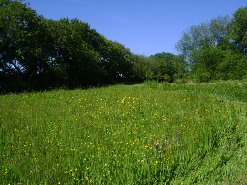
Judith Weatherburn
Thanks for the above piece, Judith. It would be great to hear from any other meadow owners about their field names.
Reptile and Amphibian Monitoring
Amphibian and Reptile Conservation (ARC) Trust needs more people to take part in their monitoring scheme – the National Amphibian and Reptile Recorders Scheme (NARRS) – in the southern half of Wales. You can monitor reptiles or amphibians, or both.

Do you know of an existing reptile population, or a pond with a known amphibian population? This could be your garden, local park, nature reserve, common land, farm, etc. You will need landowner permission but this should prove easier if you know the site, the staff or farmer.
For the amphibian and reptile monitoring you need to undertake four surveys from March to May. For reptiles you can survey a site using refugia (tin sheets or floor tiles). Ideally the refugia have to be out by mid-February, as they need time to bed in so they are ready for Spring. ARC can lend you refugia if you need them, and/or help put them out.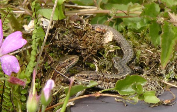
Training/mentoring is available. Detailed information is available on http://narrs.org.uk/ – please register before Spring.
Many thanks to Isabel for the above links.
Meadows Gallery
Finally, a note that I’ve now added 4 more meadows to the gallery section of these pages. Do have a look. You’ll see a range of information about the different meadows, and I hope that it will encourage a few more meadow owners to fill out the questionnaire I posted back in early November 2015. Click here for link. You can attach photos to it for inclusion if you have any, and change any images and/or text in the future, by letting me know. Contact Julian Wormald : grumpyhobbit@gmail.com
Thanks to Andrew and Helen Martin for these Waxcap images from their meadow at Ffos y Broga.
Thanks for reading.

On the Waun Las NNR, which is part of the National Botanic Garden of Wales, we formalised the naming of our meadows last year. To do this, we used old tythe maps, old documents and names passed onto our farmers when we took over the site in the late 1990s. This gave a us a collection of Welsh and English names that hinted at past use – Cae Calc was likely to have been limed, Cae Brwyn must have been rough brown pasture, Cae Derwen had a oak tree in it but Circus Field? Interesting.
Quite a few fields had no name so we had to make them up. We chose Welsh language names, largely based on nearby features, such as streams, woods and houses, which already had a name. But my favourite is Cae Tegeirianau which translates as Orchid Field as, over the past 7/8 years, this formerly species-poor meadow has welcomed the addition of hundreds of orchids, mainly greater butterfly orchid, which have naturally appeared since we began managing the field as a one cut a year hay meadow.
LikeLike
Hello Bruce. A really interesting comment, and information… In fact, so interesting, I wonder if you, or indeed someone else at the NBGW, would fancy doing a little piece with maybe a map image and a few pics for another post on the names of the Waun Llas NNR? Even better would be if I could persuade someone from the NBGW to tackle the questionnaire I mentioned, – in however much or little detail you fancy, so that I can create a feature page on the Waun Llas reserve on the Meadow Gallery pages in a bit more detail?
Let me know what you think,
best wishes
Julian
LikeLike
Maybe the ‘Circus’ field was a corruption of ‘Cirque’ field – a (French) name for a glacial valley – or Cwm in Welsh? Cae Cwm – valley field, does that fit?
LikeLike
Field Names
Tithe Maps, surveyed post-1836 parish by parish, can be a useful source of field names. I gather that the National Library is planning to digitise them for access on line.
Regards,
Michael Norman
Volunteer Project Manager
Direct Line 01570 422380
Welsh Historic Gardens Trust
Carmarthenshire Branch
Ymddiriedolaeth Gerddi Hanesyddol Cymru
Cangen Sir Gaerfyrddin
LikeLike
Thanks for that useful information, Michael, which I’ll put up on our resources page as a separate link,
best wishes
Julian
LikeLike
Hello again Michael,
This is a link to the Cynefin project which you mention, and which aims to digitise tithe maps by September 2016 …
http://cynefin.archiveswales.org.uk/en/
LikeLike